
How Aerial Drone Photography Helps Acreage & Ranch Listings Stand Out
Drone photography helps acreage, ranch, and rural listings stand out by showing terrain, access, and context buyers can’t see from the ground.
DRONE & AERIAL MEDIA
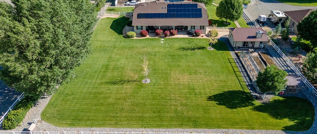
Marketing acreage and ranch properties presents challenges that traditional photography often can’t solve. Ground-level images rarely communicate scale, access, or surrounding land features clearly.
That’s where aerial drone photography for acreage listings becomes invaluable.
👉 https://bluemoonmedias.com/drone-services-and-commercial-virtual-tours-inspection
Why Drone Photography Works for Large Properties
Drone imagery allows buyers to understand:
Overall property layout
Terrain and elevation changes
Access roads and driveways
Relationship between buildings and land
This visual clarity builds confidence before a buyer schedules a showing.
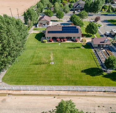
Ranch & Rural Property Marketing
Across Western Colorado, ranches and rural parcels often include multiple structures, fencing, water features, and seasonal access considerations. Aerial photos help communicate these details efficiently and accurately.
Improving Buyer Engagement
Listings with strong aerial imagery tend to attract more qualified interest because buyers already understand what they’re viewing. This leads to better showings and more informed conversations.
Blue Moon Medias provides drone photography for acreage and land listings across Delta, Hotchkiss, and surrounding Western Slope communities, helping properties stand out in competitive markets.
For large parcels, aerial imagery isn’t optional—it’s foundational.


© Copyright 2026 Blue Moon Medias, LLC All Rights Reserved.
We Use the World’s Finest Virtual Tour Software!