
Using Drone Imagery for Property & Infrastructure Documentation
Drone photography supports property documentation, exterior inspections, and construction progress records across Western Colorado.
DRONE & AERIAL MEDIA
Drone imagery isn’t limited to marketing. Drone photography for property documentation provides valuable visual records for inspections, planning, and project tracking.
👉 https://www.bluemoonmedias.com/drone-services-and-commercial-virtual-tours-inspection
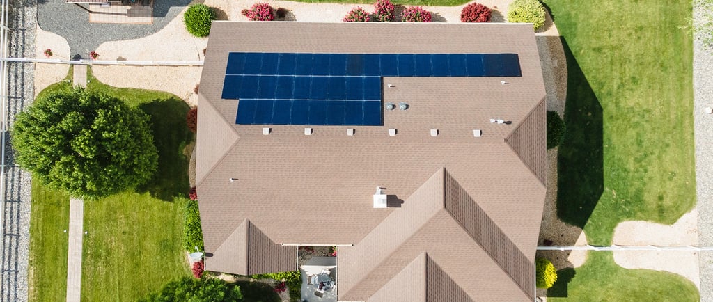
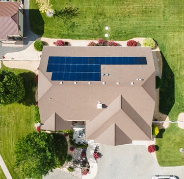
What Drone Documentation Provides
Drone imagery can capture:
Rooflines and exterior conditions
Site layout and access points
Construction progress stages
Infrastructure and land context
These visuals support reporting and communication—but do not replace licensed inspections or surveys.
Common Use Cases
Exterior overview inspections
Construction progress documentation
Insurance and restoration records
Infrastructure and site planning
Why Image Quality Matters
High-resolution aerial images ensure details remain clear when shared with stakeholders or reviewed over time.
Blue Moon Medias provides property and infrastructure drone documentation throughout Cimarron and the Western Slope, delivering organized, professional aerial visuals for real-world needs.


© Copyright 2026 Blue Moon Medias, LLC All Rights Reserved.
We Use the World’s Finest Virtual Tour Software!